| Hana Kubickova

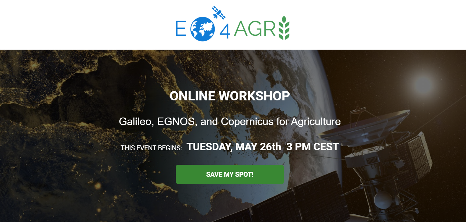
In Europe, we have two major space based programs, Galileo and Copernicus. Combining the navigation or positioning tools of Galileo and the Earth observation data and services of Copernicus for improved food security and agriculture in general is what we address in this webinar scheduled on Tuesday 26th MAY, 3 PM CEST and you are cordially invited!
There is a great untapped potential in combining positioning data from Galileo and EGNOS with Earth observation data for agriculture. The Covid19 virus is unfortunately not only harming our health, it is also jeopardizing our food security. It is evident that we need to pump up our efforts to combine all the resources and knowledge we have to secure a continued good life, not only for Europeans, but for our entire planet.
YOU WILL LEARN ABOUT:
- Galileo, the European Global Navigation Satellite System (GNSS)
- The European Geostationary Navigation Overlay Service (EGNOS)
- Copernicus - The European Earth observation program
- Navigation for agriculture - a couple of examples
- Combining navigation and Earth observation resources for agriculture
In case of interest, do not hesitate to register HERE!
