We are building community focused on knowledge basement - digital innovation hub
Let's join the community. Become a regular user and editor - create own blog posts, threads in forum, create own maps and describe them by metadata...
Latest news and blogs
KijaniSpace project
KijaniSpace is an innovative European initiative focused on promoting biodiversity, sustainability, and green urban infrastructure. The project aims to transform urban environments by developing smar
Read more
SmartAfriHub Workshop Part 1
SmartAfriHub NG was presented today at an interactive workshop. The participants could try how to publish their own geodata and complete maps. The event was organized as a part of Agrihub INSPIRE Hac
Read more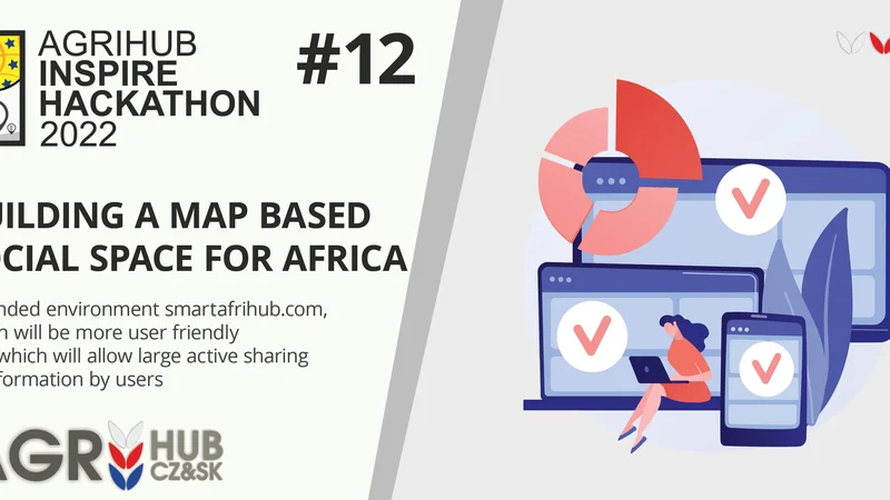
Agrihub INSPIRE Hackathon 2022: Help us build a map based social space for Africa via Challenge #12
During last year's INSPIRE Hackathon the SmartAfriHubs Digital Innovation Hub (https://www.smartafrihub.com/cs/home) was developed. Moreover, there was a community built around it, which is now activ
Read moreNewly Available Map Compositions for
Africa Resulting from Open Spring INSPIRE
Hackathon 2021
SmartAfriHub offers a set of map compositions divided into various thematic groups. Feel free to explore them and extend them with your own layers!
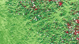
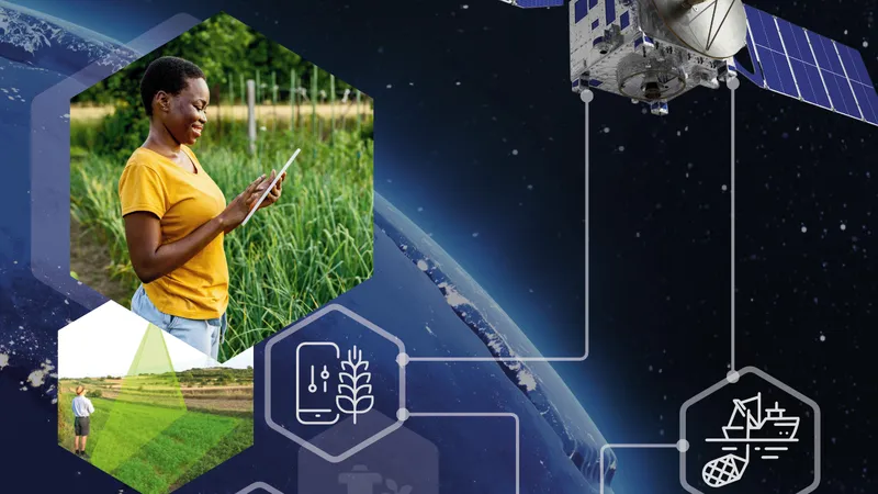
Earth Observation
This map composition serves farms, individual farmers and the professional public to better understand the current state and development of vegetation in the field.
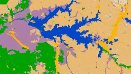
Water Quality Monitoring
The map composition contains water quality monitoring for Lake Victoria and Lake Tanganyika.
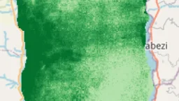
Open Land Use
Open Land Use is a composite map showing the land cover for the whole Kenya, Uganda, Burundi, Rwanda and Tanzania.
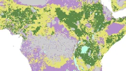
Pan-African Dataset
The Pan_African dataset includes selected data from RCMRD, FAO and Rural Attractiveness for Africa.
Do you want more map layers and compositions?
Than check out our catalogue!
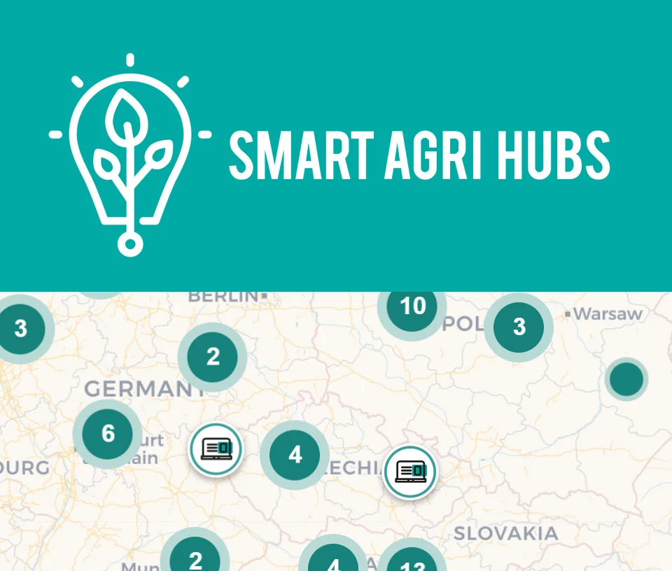
SMARTAGRIHUBS.EU - SMARTAFRIHUB, MEMBER OF NETWORK
SmartAgriHubs is a € 20 million EU project under Horizon 2020 and brings together a consortium of more than 164 partners in the European agri-food sector. The project aims to realize the digitization of European agriculture by supporting an agricultural innovation ecosystem dedicated to excellence, sustainability and success.
The development and adoption of digital solutions is achieved through a tense ecosystem of 140 digital innovation centers built into 9 regional clusters run by organizations closely involved in regional digitization initiatives and funds.
More information