| Hana Kubickova

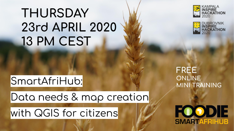
We are very happy to offer a FREE online mini training THURSDAY 23. April 1 PM CEST, covering different tools on the SmartAfriHub platform, new mapping tools using QGIS as well as a whole range of other tools.
DURING THIS FREE WEBINAR YOU WILL ALSO LEARN:
- Data needs in African agriculture and potential resources
- Demonstration of how SmartAfriHub can help to solve data problems through the involvement of citizens
- Future direction for SmartAfriHub and African SDI
- Q&A
What: This webinar addresses how citizens can contribute to building data for a geospatial hub. The webinar will describe a technological Geospatial Information (GI) solution for the SmartAfriHub, which could be easily replicated on other infrastructures and which include visualisation, metadata management, data management, mobile access and also the connection to external desktop platforms. All solutions are 100 % based on Open Source, so this could be also the inspiration for local developers.
We will also introduce the concept of Map composition - smart maps, which can be easily shared with others.
Part of the Webinar will be also focused on data needs in African agriculture sector, available resources and how this data could be integrated.
Why: The SmartAfriHub Map solution is something that can help to solve some problems with GI data in Africa. It is a solution, which could be easy replicated and help to solve SDI problems in Africa.
Who (is the webinar for): Students, researchers, data analytics, NGO, African and European projects, anybody in Africa and beyond, who is dealing with data management and who are ready to work with us on the new concept of “Citizens Science Maps. Farm advisors, ICT companies dealing with GI information and people from the public sector.
Do not hesitate to register for this online training/webinar HERE!
