| Hana Kubickova

Datacubes form an enabling paradigm for serving massive spatio-temporal Earth data in an analysis-ready way by combining individual files into single, homogenized objects for easy access, extraction, analysis, and fusion – “one cube says more than a million images”. Goal is to allow users to “ask any question, any time, on any size” thereby enabling them to “build their own product on the go”, to cite some common terms.
With the OGC Web Coverage Service (WCS) suite a set of easy-to-handle, flexible, powerful service APIs is in common use today. In the hackathon you have the opportunity to access spatio-temporal datacubes for extraction, visualization, analytics, and fusion of data.
Just find your Jupyter datacube notebook on the CODE-DE Sentinel hub https://processing.code-de.org/rasdaman/index.html?page=demonstrations, it offers a convenient quick step-by-step introduction.
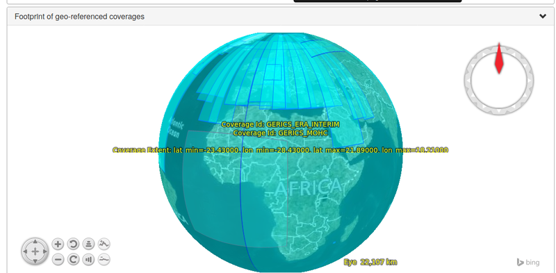
CODE-DE, the German Sentinel Hub, can offer following data coverage:

